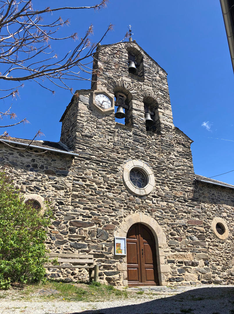
Villefranche-de-Conflent / Vernet-les-Bains
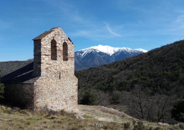
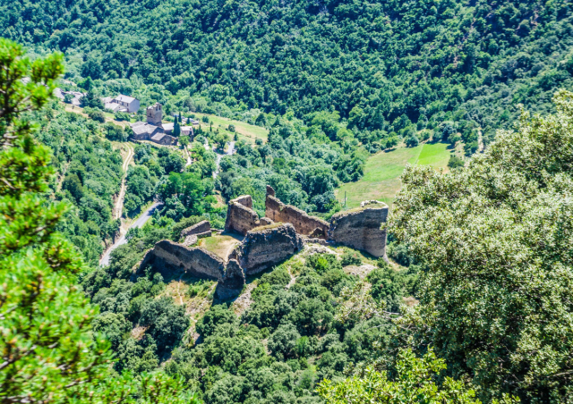
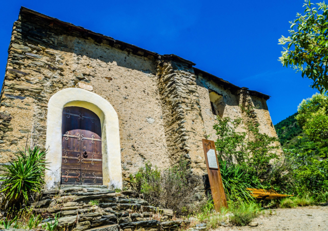
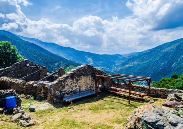
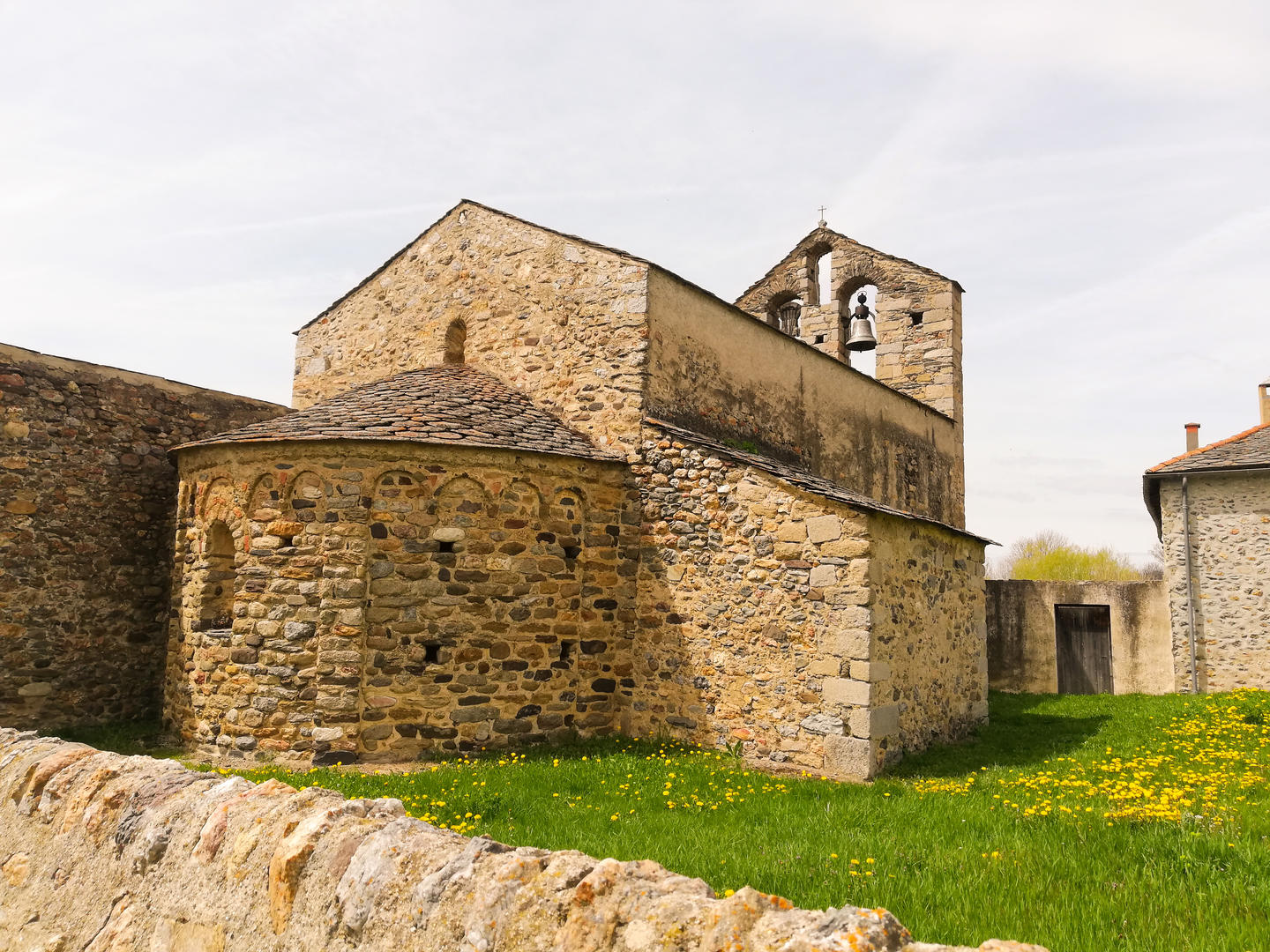
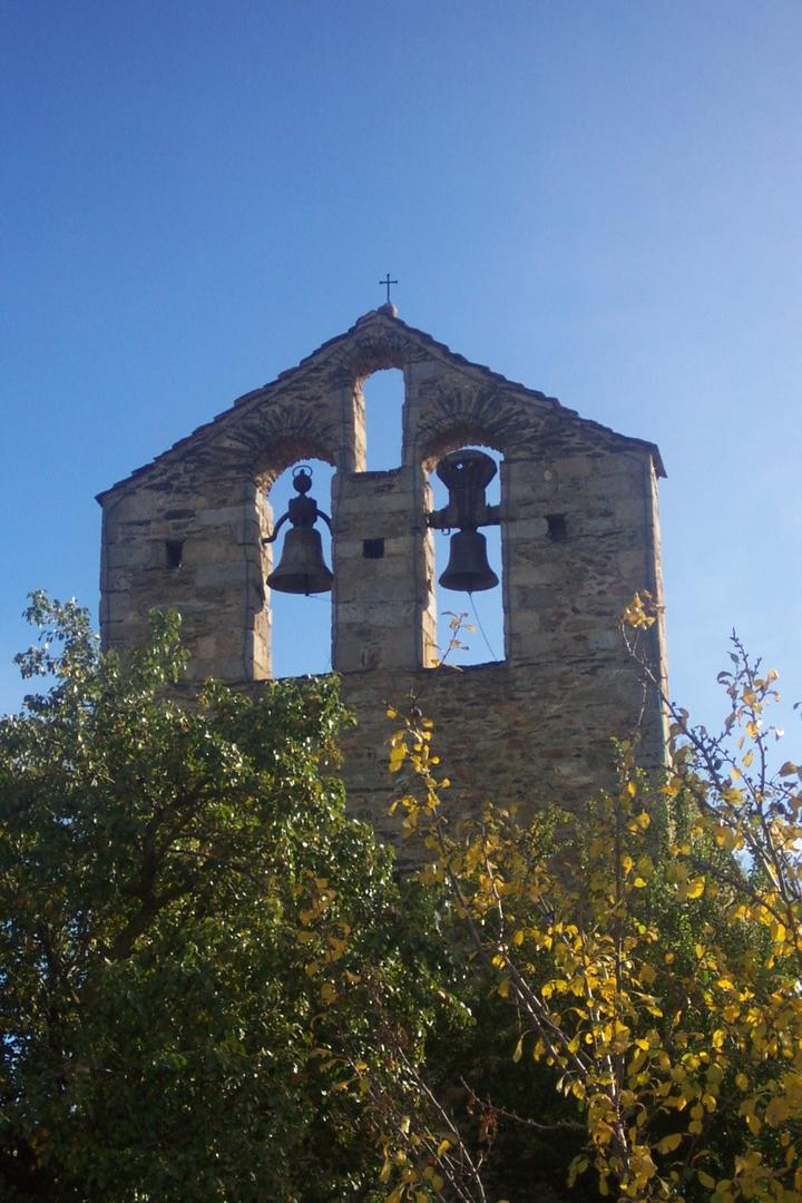
The Chapel of Bell Lloc by the hiking trail PR74
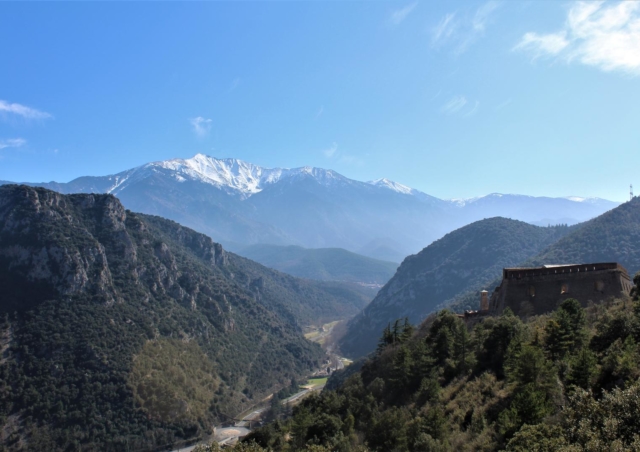
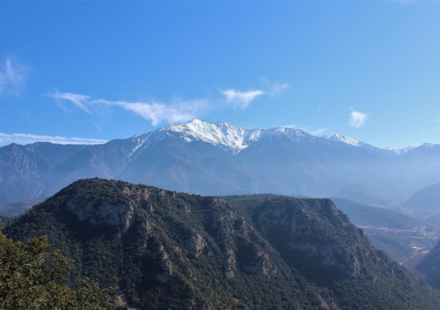
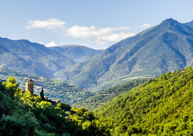
With a splendid panorama on the Canigó, this hiking trail will take you to the discovery of major sites classified as World Heritage by Unesco, the abandoned village of Bell Lloc and its Saint-André chapel, while offering wonderful views of the massifs and the surrounding valleys.
Please note that the path is stony and exposed to the heat.
8.3 km; 3 hour walk
The Northern Balconies of Canigó – Loop Trail of Sant Esteve de Campilles
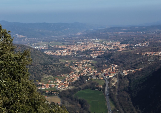
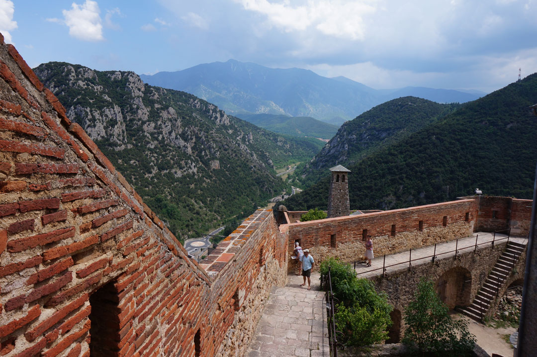
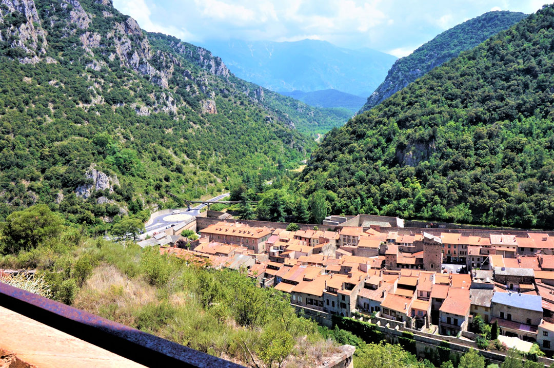
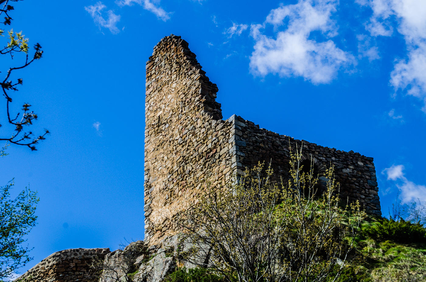
The trail starts from the medieval city of Villefranche-de-Conflent, fortified in the 17th century by Vauban, and takes you on an aerial path overlooking the glacial lock of the Têt Valley. This panoramic balcony facing the Canigó will allow you to go through Fort Liberia and reach the two Romanesque chapels of Sant Andreu de Bell Lloc and then Sant Esteve de Campilles, which offer a magnificent belvedere.
10.2 km; 4 hours and 25 minutes walk
Olette / Canaveilles-les-Bains
On the Rooftops of Evol
A beautiful route around one of the most beautiful villages of France to discover its heritage.
1.6 km; 30 minute walk
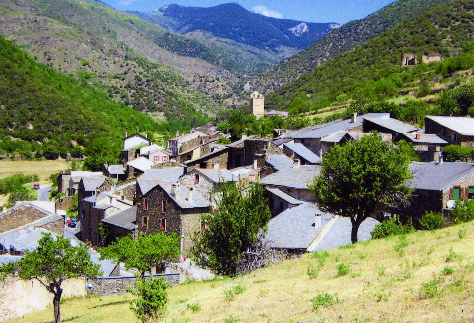
The entrance to the Garrotxes (Mountain Bike)
A sporty route to discover the lower valley of the Garrotxes. Route suitable for electric bikes. This route is part of the Madres – Coronat Mountain Bike Area.
11 km; 2h30 by bike
Nyer
En, the Abandoned Village
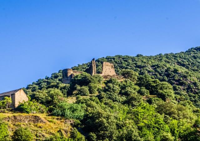
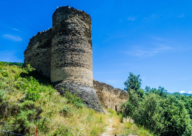
A bit apart from the Têt Valley, discover the Castle of Nyer, guardian of an imposing valley. And, up there, hidden behind a hill, the hamlet of En also reveals its splendid chapel.
4 km; 2 hour walk.
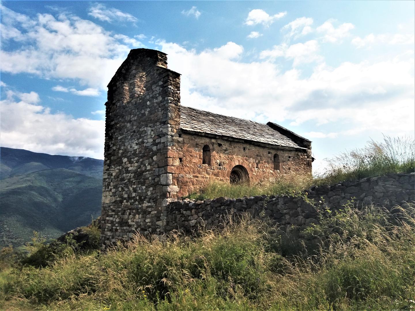
Thuès-carança
Thuès-entre-Valls – Mas Barret
A beautiful route starting from the car park of the Carança Gorges, following the old mule track that leads to Mas Baret, and offers a magnificent view of the High Conflent.
Be careful, rocky path and steep climb !
6 km; 3 hours 30 walk
Fontpédrouse
Around the Cucurucull
This loop trail starting from the hamlet of Prats-Balaguer will take you to the Cami Ramader, which once served as a path to move to summer pastures, to reach the hermitage of Nuria. Along the walk, you will also enjoy magnificent views of emblematic peaks of the territory such as the Nou Fonts (2,851 m).
Feeling like getting a little higher? The highest point of the trail will take you up to 1,996 metres above sea level, at the Collets d’Avall.
9 km; 5 hour walk
Sauto
The Yellow Train
This walk from one side of the Têt Valley to the other side will make you discover the works of art of the steepest part of the route of the Yellow Train. Thematic trail with historical information on the train line and its monuments.
To see along the way: Breathtaking passage under the Gisclard bridge!
8 km; 4 hours 30 walk
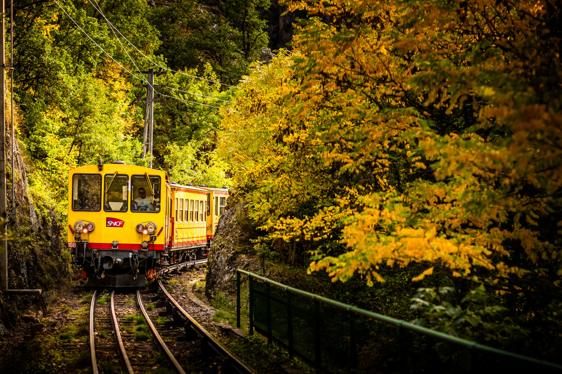
Planès
The Trees of the High Conflent
Hiking trail of exceptional biological interest, with thematic information that will make your walk even more interesting as you discover the trees and bushes of the High Conflent.
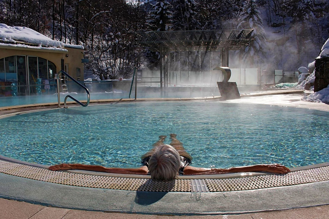
To see along the way: The Hot Sulphur Baths of Saint-Thomas! The hot waters offer an analgesic and relaxing effect. You will experience a feeling of well-being and relaxation! The sulphur in the water has an anti-infectious and antiseptic action.
7 km; 3 hour walk.
Mont-Louis / La Cabanasse
Well-Being with the Yellow Train
From the Yellow Train station, you will discover the High Conflent by taking old roads. Between La Cabanasse and La Cassagne, there is what is called the Roman road, the Strata Confluentana, which linked the Roussillon Region to Llivia.
To see along the way: The Hot Sulphur Baths of Saint-Thomas!
11 km; 4 hour walk
Following the “Canary” (Mountain Bike Trail)
Enduro route following the legendary Yellow Train line and offering magnificent views of the upper Têt Valley.
24 km; 4 hour by bike
Bolquère
The Cariolettes Path
The “Cariolette” is a small mushroom typical of the regional cuisine. This easy hike through the pastures closely follows the route of the Yellow Train line!
10 km; 3 hour walk.
Font-Romeu / Odeillo / Via
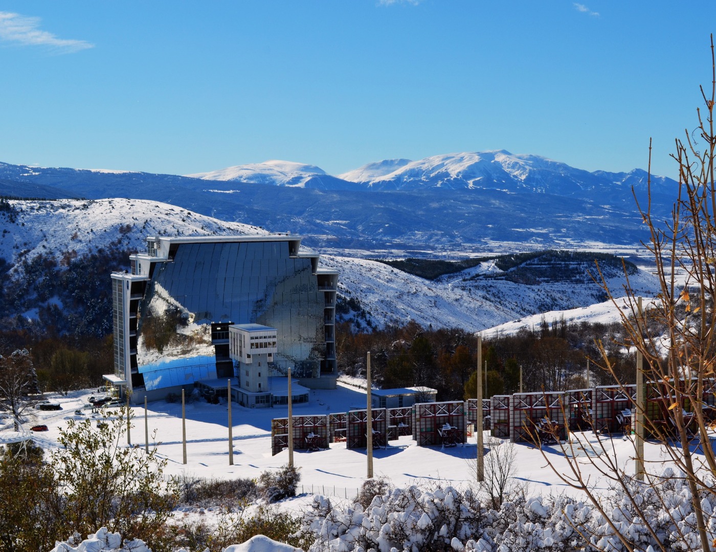
The Odeillo Solar Oven
An internationally renowned CNRS research laboratory, it was brought into operation in 1968 for scientific research thanks to Professor Félix Trombe. It is located in Cerdanya due to the quality and duration of sunshine as well as the purity of the atmosphere in this high territory.
4 km; 1 hour and a half walk
The Egat Forest (Mountain Bike Trail)
To see along the way: the unmissable chapel of the Hermitage!
8km; 1 hour and a half by bike
Estavar
The Discovery of an Enclave
A particularity of the French territory since the Treaty of the Pyrenees of 1659, Llívia is a Spanish enclave located in the heart of French Cerdanya. Departure from Sant Julia d’Estavar Church.
To see along the way: The Chaos of Targasonne, a natural site made up of hundreds of giant granite blocks.
14km; 5 hour walk

From one train station to another
From the car park of the Estavar train station, cross the hamlets of Bajande and Rô before continuing to Font-Romeu station.
The way back can be done by train.
To see along the way: The St Julien d’Estavar Church, where you can admire altarpieces dating from the 18th and 19th centuries and a Christ representation from the 17th century!
9 km; 4 hour walk
Saillagouse
Discover a Territory
The start of this hike is in Saillagouse, the “capital” of French Cerdanya. It is a village full of history and with a strong historical and gourmet heritage! Do not hesitate to visit the ham dryer during your visit!
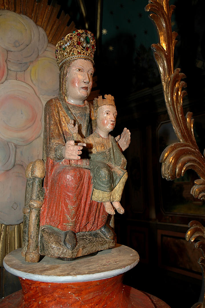
To see along the way: The Chapel of the “Black Virgin” of Err. It is said that she has the power to solve all sorts of misfortunes, and that she ended a bovine epidemic in 1726!
11.5 km; 4 hour walk
Err
The Puigmal Crests
A hiking trail that will take you to the Puigmal D’Err, the second highest peak of the Pyrénées-Orientales, culminating at 2,921 m. This true Pyrenean peak offers a vast panorama of Cerdanya and the Nuria Valley in Spain.
10km; 5 hour walk

Sainte Leocadie
A story of Cerdanya
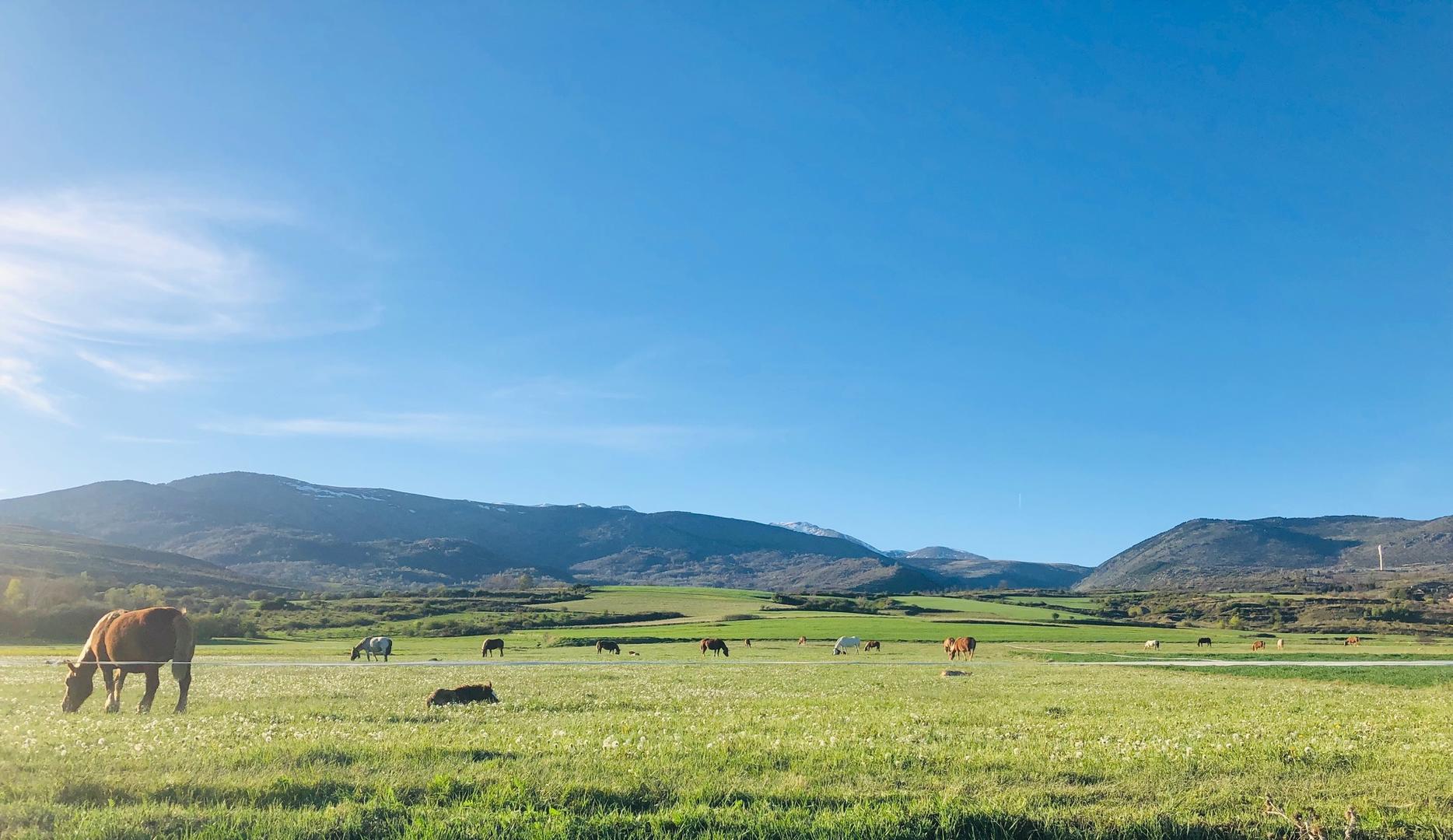
Atmosphere of Lower Cerdanya, typical old farms, green fields, agricultural landscapes…
The start of this walk is next to the museum of Cerdanya in Sainte Léocadie, a village made up of 4 hamlets. On the heights of the village, you will discover Nahuja and its old buildings.
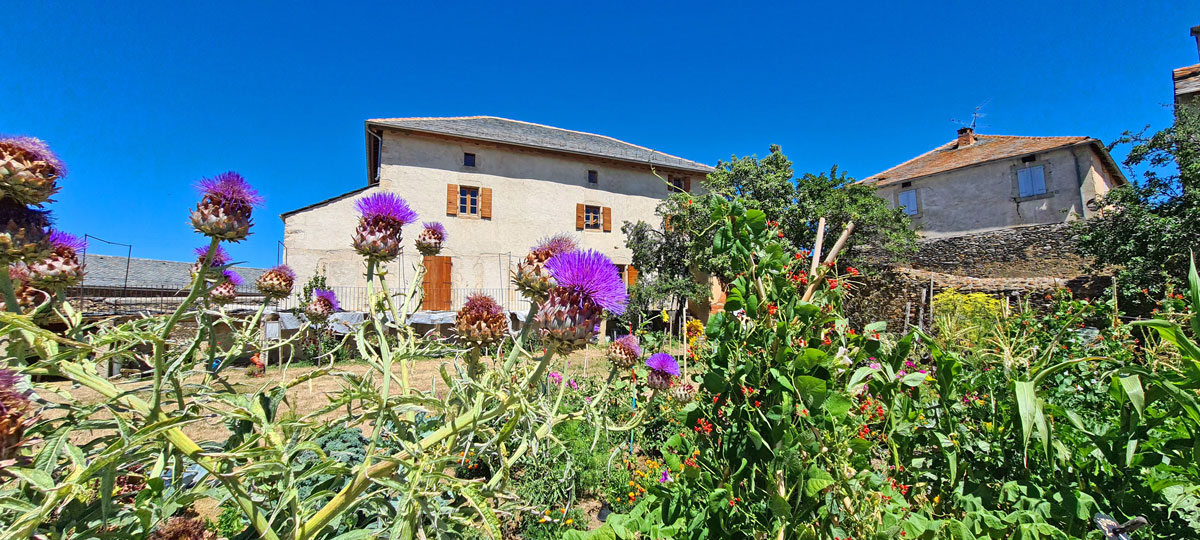
To see along the way: The Farm of Cal Mateu, a typical farm of Cerdanya. The building has now become the Museum of Cerdanya.
4km; 1 hour and a half walk
Osséja
Loop Trail of the Couronnes
Discover the Refuge of the Couronnes, located at an altitude of 1,850 m. You will enjoy a breathtaking view of the peaks of the Puigmal massif!
12 km; 5 hour walk
Bourg-Madame
The Cami de la Fount d’Hix
This path will take you to the heart of the cradle of the Counts of Cerdanya. You will see a lintel on their residence engraved with a lion, proof of the seigniorial origin of the house. From the Tourist Information Point of Bourg-Madame, follow the yellow markings (PR 25).
4 km; 1 hour and a half walk
The Cami de Caldegues
At the Pla de Dalt, the road linking the village of Caldégas to the RN 116 offers a 360° panorama over all Cerdanya. Departure from the small town square of Hix!
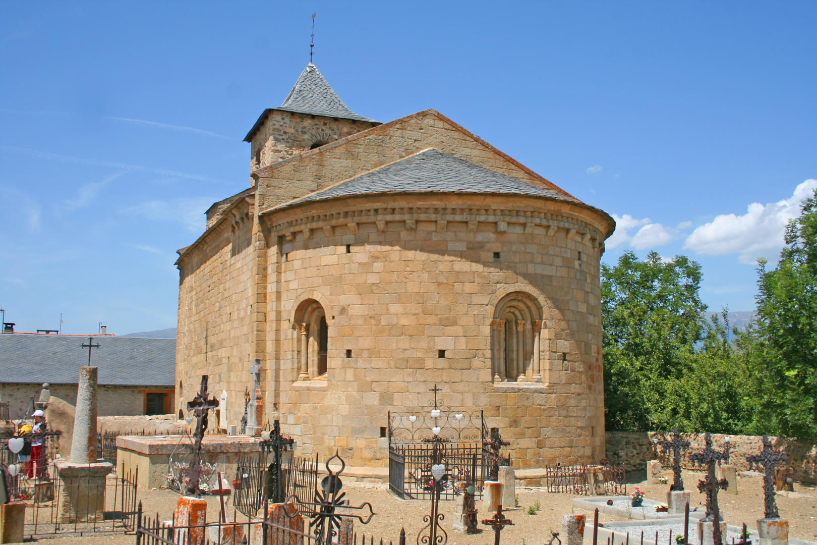
To see along the way: The Saint-Romain de Caldégas Church, a Romanesque building dating from the 11th century. You can admire magnificent and rare wall paintings inside.
4.5 km; 2 hour walk
Ur / Les-Escaldes
Beyond the Border
Departing from the church of Ur, discover Llivia, a Spanish enclave in the heart of the French territory. Along the way, you can see some of the 602 border markers, numbered from the Atlantic to the Mediterranean.
To see along the way: The Saint-Martin d’Ur Church, witness to the presence of works of Romanesque art in the territory.
9km; 2 hour walk
Latour-de-Carol / Enveitg
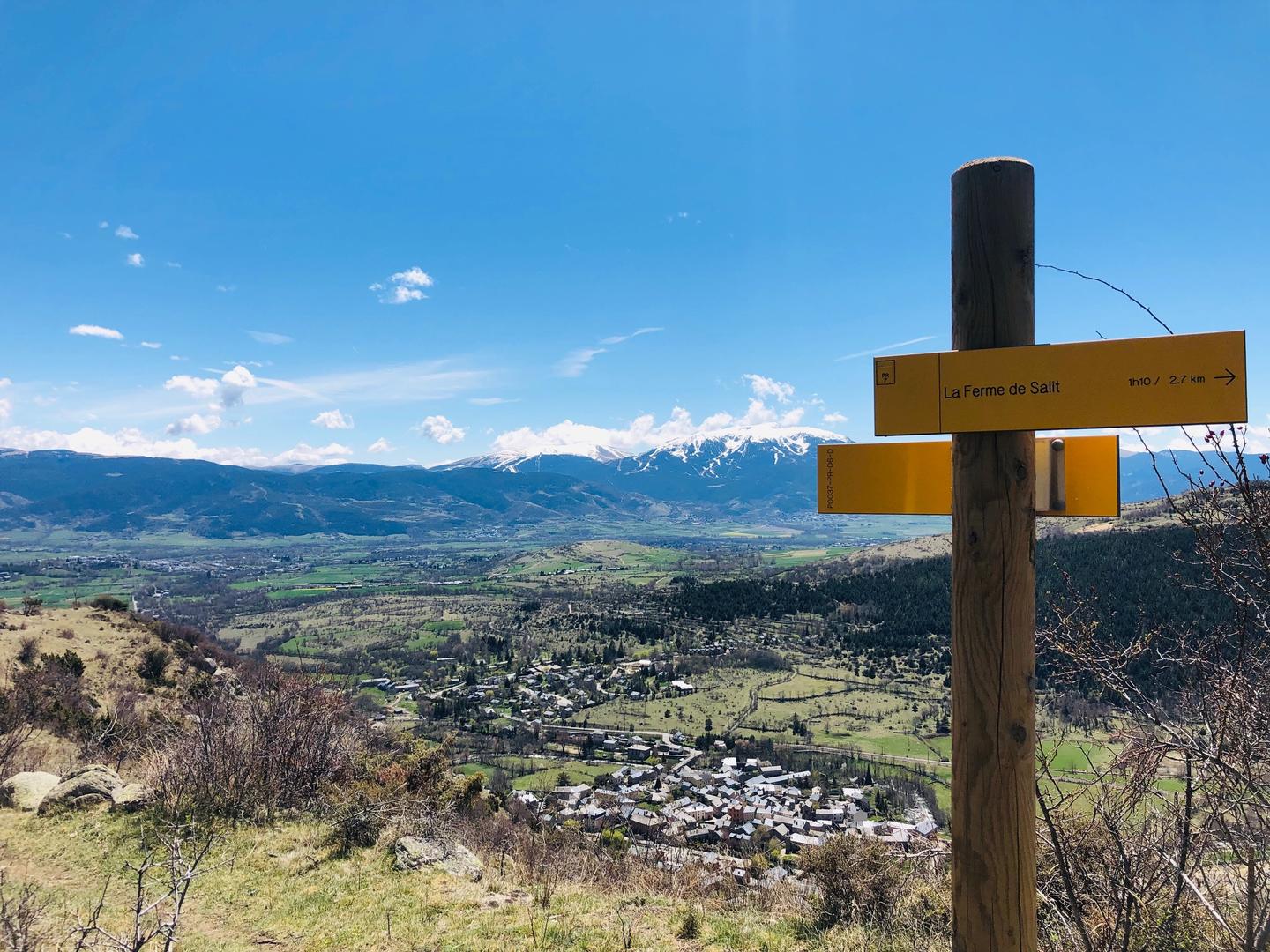
By the Farm of Salit
This walk starts behind the church of Latour-de-Carol, a few kilometres from the train station. Take a break during your walk to visit the parish church dedicated to Saint-Etienne, dating from the 18th century.
6km; 2 hour walk
